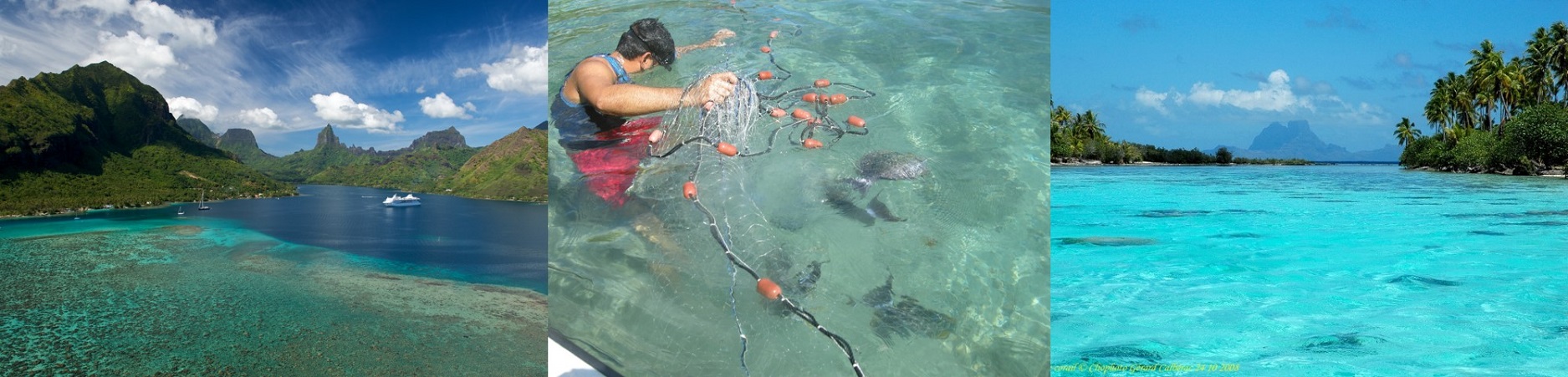
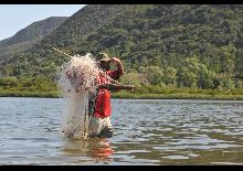
Coastal ficheries management
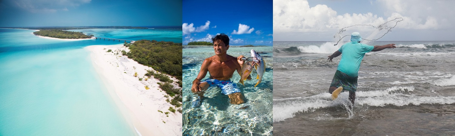
The sustainable management of coastal resources is a crucial issue for the populations of the OCTs; they ensure food security, but also the sustainability of lifestyles. In this area, INTEGRE has set 3 objectives :
- Strengthen management by participating in the implementation of concrete measures
- Improve knowledge by carrying out targeted studies
- Link managers by organizing regional exchanges
The actions of the project have been designed with the territories to best meet their needs and considering the major issues of sustainable management of coastal resources :
- Preserving coastal resources: putting in place measures to ensure the sustainability of stocks;
- Combining scientific and local knowledge: developing management measures based on traditional knowledge, daily practices and scientific studies;
- Manage locally: make fishermen active in management from design to implementation.
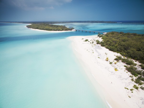
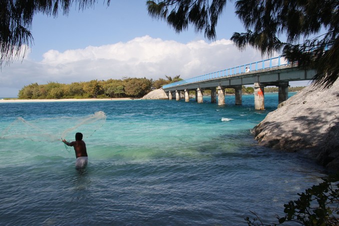
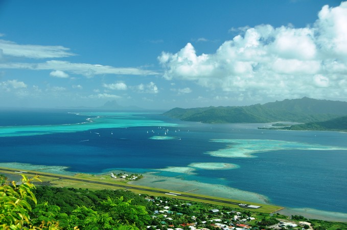
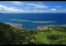
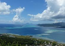
Coastal Resource Management in the Pacific :
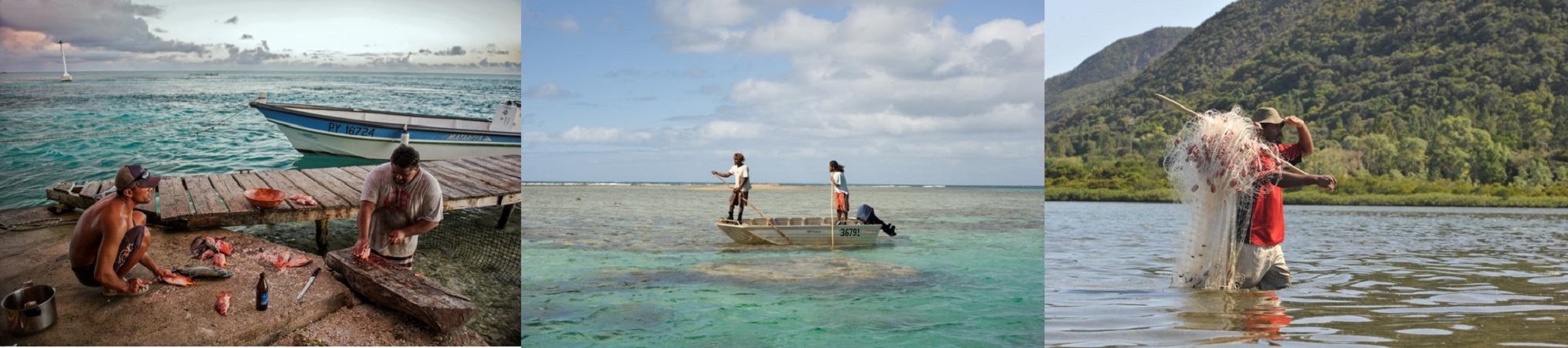
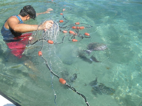
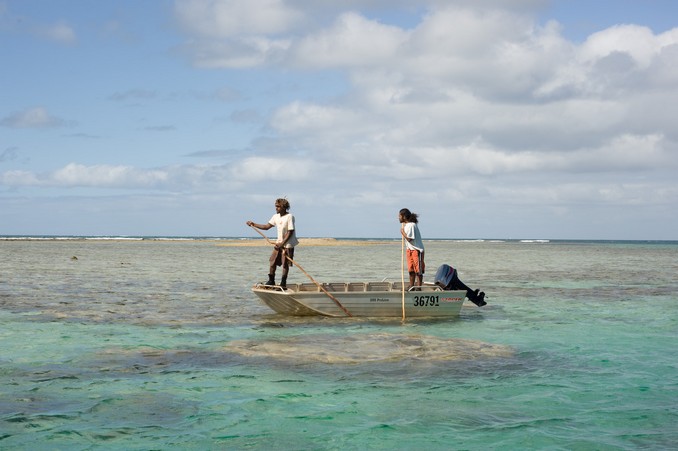
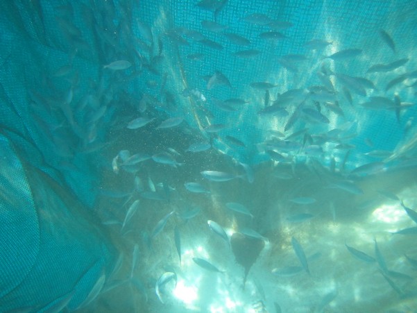
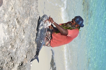
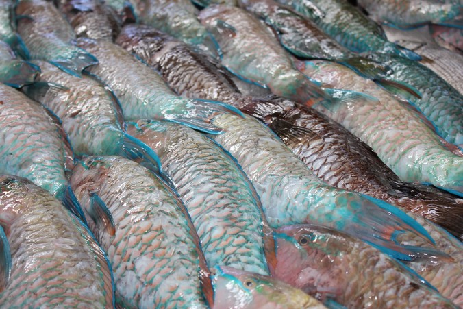
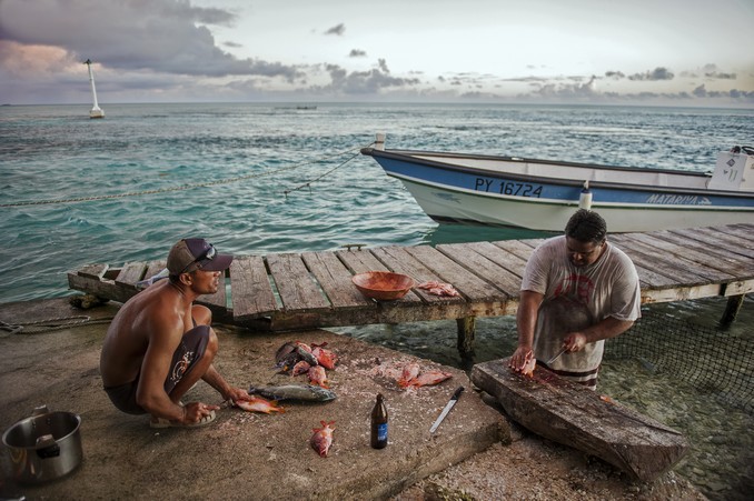
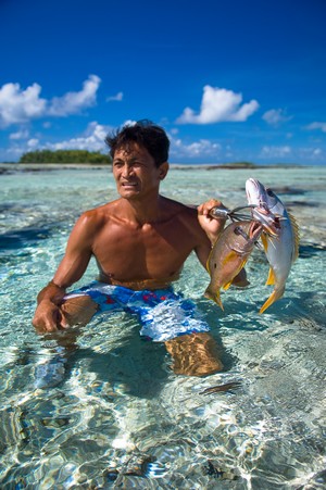
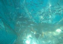
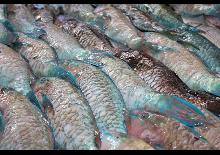
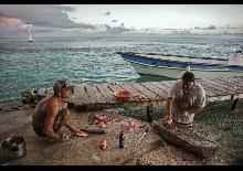
Inshore fishing is the first or second source of income for almost half of Oceania's households. Faced with the progressive degradation of resources and the marine environment that has been taking shape for many years, the countries of Oceania have adopted various coastal resource management strategies, the most successful to date being those that fully involve fishermen and, more broadly, the population in the definition and implementation of management measures and to varying degrees in their control. This approach is all the more justified given the geographical scattering of territories and the governments' under-resourcing in terms of human and/or financial resources. The success of this participatory management refers less to scientific evidence of the statistical increase in stocks than to the perception of an improvement in the state of resources by local managers following the development of local management measures and their effective implementation by communities involved.
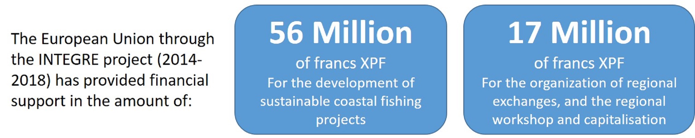
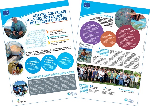
Download our fact sheet on INTEGRE's contribution to sustainable coastal fisheries management: INTEGRE contributes to sustainable coastal fisheries management (in French)
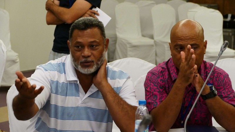
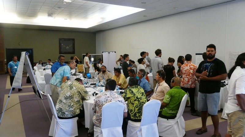
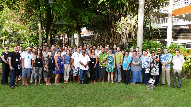
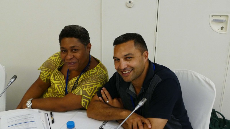
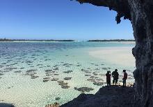
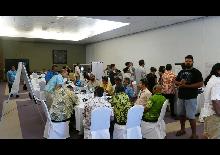
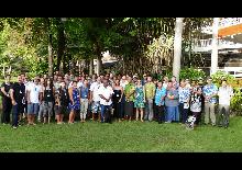
Organized by the INTEGRE project, a workshop on coastal resource co-management in the Polynesian region brought together some 60 participants from the Pacific region for five days in French Polynesia in April 2017. The participants, mainly representatives of the fisheries services of the countries, exchanged on their ways of involving local stakeholders in the management of coastal resources.
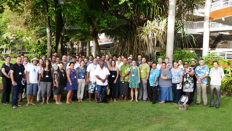
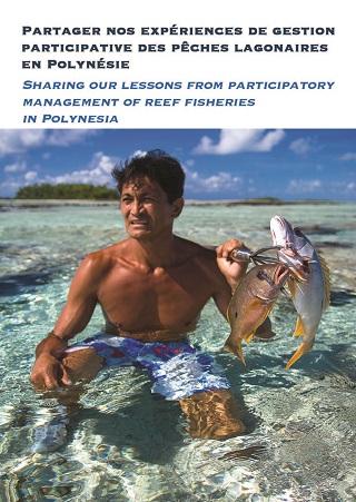
This workshop was held from April 10 to 13, 2017 in Papeete, under the theme “Sharing lagoon-fisheries participatory-management experience in Polynesia".
The objectives of this workshop that gathered more than 60 participants (New Caledonia, French Polynesia, Wallis and Futuna, Cook Islands, Hawaii, New Zelande, Fiji, Easter island, Samoa, American Samoa, Tonga, Tuvalu) were to :
- Share experiences of participatory fisheries management, particularly in Polynesian countries ;
- Explore the establishment of national and regional mutual assistance networks between fishing communities, technicians and experts ;
- Develop protocols and recommendations for the participatory management of lagoon fishing in French Polynesia ;
- Elaborate a message to the Polynesian Leaders Group on the importance of lagoon fishing for the populations and the opportunities for regional collaboration in this field.
Lessons learned by French Polynesia during the workshop :
The first objective of this workshop was to gather Polynesian co-management experiences in order to support the Direction des Ressources Marines et Minières (DRMM) de Polynésie française in the implementation of this recently initiated approach. At the end of the workshop, the DRMM presented the lessons learned from the 4 days of meetings and exchanges.
Regarding the concrete implementation of participatory fisheries management, five major stages have been proposed, each of which involves issues to which the most pragmatic answers must be given :
- Definition of actors or of the community : The main challenge of good resource management is the management of the human factor.
- Planning : The challenge is to define objectives and formalized measures with the right method and the right tools.
- Implementation: The main challenge is to set the limit of participation according to the will and skills of the communities and the human, financial and regulatory means of the administration.
- Monitoring, evaluation, adaptation : The point is to focus on the essential and not on exhaustiveness.
- Networking : The challenge here is to achieve a change of scale. The network is not so important if the number of sites is very small.
All the experiences shared on the implementation of co-management of lagoon fishing in Polynesian countries, some of which began almost 20 years ago, show that it is an appropriate approach for the Pacific context. Indeed, it allows local knowledge to be considered, to leave the choice of their management to the communities and finally to make them responsible in its implementation. Several experiments mention significant results in terms of resource stocks with observed or perceived increases but also a better appropriation of the environmental issue, the ecosystems' functioning and the factors that threaten them by the communities.
Based on the discussions held during the workshop, a proposal for a declaration addressed to the Polynesian leaders group was drafted and validated by all the representatives of Polynesian countries present at the workshop. This declaration recalls the need to implement and therefore devote the necessary means to local, participatory and shared management of lagoon resources in order to contribute to the food security of the populations. It also encourages greater cooperation between Polynesian countries.
The results and lessons learned from this workshop are summarized in the report on sharing lagoon-fisheries participatory-management experience in Polynesia
Workshops presentations :
- Selaina Vaitautolu Tuimavave - Management Committees in Am. Samoa
- Lyndsay Chapman - Status of coastal fisheries in Polynesia
- Margaret Tabunakawai Vakalalabure - Co-management of reef fisheries : general features
- Zacharie Moenteapo / Yanick Yokohama - Co-management of reef fisheries : general features
- Ulusapeti Tiitii - Co-management of reef fisheries : general features Samoa
- Jaime Aburto F - Co-management of reef fisheries : general features Chile
- Hugh Govan - Co-gestion / Co-management
- Hugh Govan - Monitoring, evaluation and adaptation
- Kevin Chang - Kua
- Cédric Ponsonnet - Les enjeux de la gestion communautaire des pêches en Polynésie française
- Gariel Sao Chan Cheong - Co management of reef ficheries : management planning
- Margaret Tabunakawai Vakalalabure - Fiji
- Lindsay Chapman - Where to from here - The future of coastal ficheries
- Joachim Claudet - Efficacités écologique et halieutique des rahuis
- Emmanuel Coutures - Situations de cogestion et application des réglementations
- Ben Ponia - Co-management of reef fisheries Cook Islands
- Pauline Fabre / Ewan Morin / Marguerite Taiarui - Design and implementation of rahui network in Tahiti Peninsula
- Tamatoa Bambriidge - Tadition and Rahui
- La pratique du Rahui à Rapa
- Andrew Luke - Aotearoa New Zealand
- Main threats to coastal fisheries
- Siola'a Malimali - Co-management of reef fisheries : special management area
- Semese Alefaio / Alan Resture - Co-management of reef fisheries : general features Tuvalu
- Erin Zanre - Co-management of reef fisheries : general features
This activity aimed to promote the sharing of pilot site experiences with other Pacific countries on sustainable fisheries management with the concepts of economic viability and local development. The objective was to contribute to the integration of the OCTs in the region through bilateral exchanges with "mirror" sites and to create informal networks. The aim was to develop synergies between territories, benefit from relevant feedback and create links between the OCTs and between the OCTs and the other countries and territories of the Pacific. Some of these exchanges focused on sustainable fisheries management through the concepts of local development / economic viability / cultural wealth / biological diversity / efficiency in the use of resources / and environmental quality :
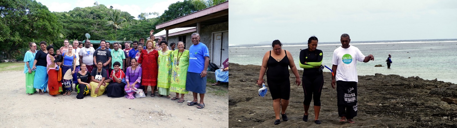
- New Caledonia - French Polynesia - Fiji: Regional exchange in Fiji on the study of the LMMA network "Local Managed Marine Area"
The objective of this exchange is to contribute to the sustainable management or enhancement of the environment in the interest of the populations. Several specific objectives have been identified: strengthening regional cooperation in the field of sustainable development, strengthening governance related to environmental management and implementing integrated management in response to sustainable development challenges.
New Caledonia-French Polynesia (2017) Regional exchange in Fiji on the study of the LMMA network "Local Managed Marine Area", a network of marine protected areas managed by local communities (in French)
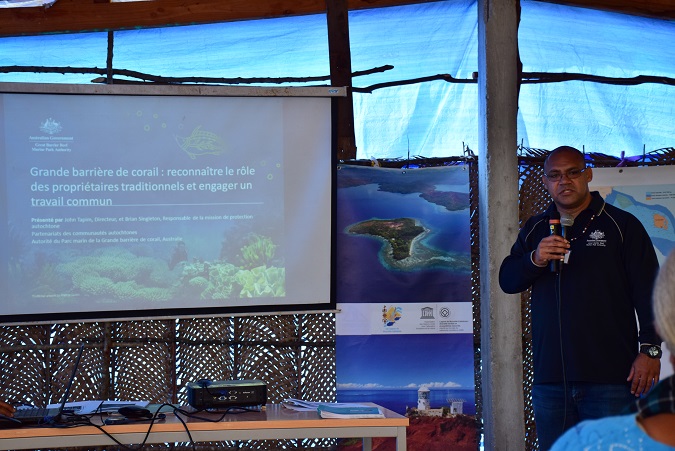
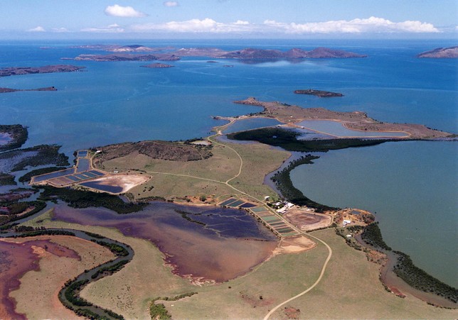
- New Caledonia - Australia: Return and exchange of experiences with the authority of the Great Australian Coral Reef Marine Park and the Torres Strait
The Great Barrier Reef Park shows many similarities with the UNESCO World Heritage property in New Caledonia, in terms of ecological issues, the management methods put in place or the economic and social context. This discussion confirmed the mutual interest of collaboration between the two sites, which is intended to continue beyond this exchange. Moreover, it has provided food for thought at the level of the three pilot sites in New Caledonia within the framework of the UNESCO management committees, which are the way to local legitimacy, particularly customary legitimacy on lagoon space and uses. It therefore contributed to the INTEGRE action plan for New Caledonia, which aimed in particular to boost the participatory management process and the mobilisation of local stakeholders at the three pilot sites, this mobilisation passing through recognition of local cultural specificities and the aspirations of the populations. This is a central issue for the effective implementation of integrated coastal zone management in New Caledonia but also in the Pacific as a whole. This exchange and the lessons learned were promoted to all partners of the INTEGRE project, notably during the mini regional workshop organised on 30 September and 1 October on ICZM plans.
New Caledonia-Australia (2015) Return and exchange of experiences with the authority of the Great Australian Coral Reef Marine Park and the Strait of Torres on the consideration of traditional uses of the marine space (in French)
- New Caledonia - Galapagos: 3rd conference of managers of marine sites inscribed on the World Heritage List
The World Heritage Centre through the Marine Programme organizes every three years meetings between the 49 managers of marine sites inscribed on the World Heritage List. These conferences allow managers to share best practices and build relationships to continuously improve their management practices. The Caledonian World Heritage property is a serial property managed by four institutions (the three provinces and the Government of New Caledonia). The Conservatoire d'espaces naturels is the body that coordinates this management and plays the role of focal point, particularly in the responses to be provided to UNESCO.
New Caledonia-Galapagos (2016): 3rd Conference of Managers of Marine Sites inscribed on the World Heritage List (Galapagos Archipelago, 27 to 31 August 2016 (in French)
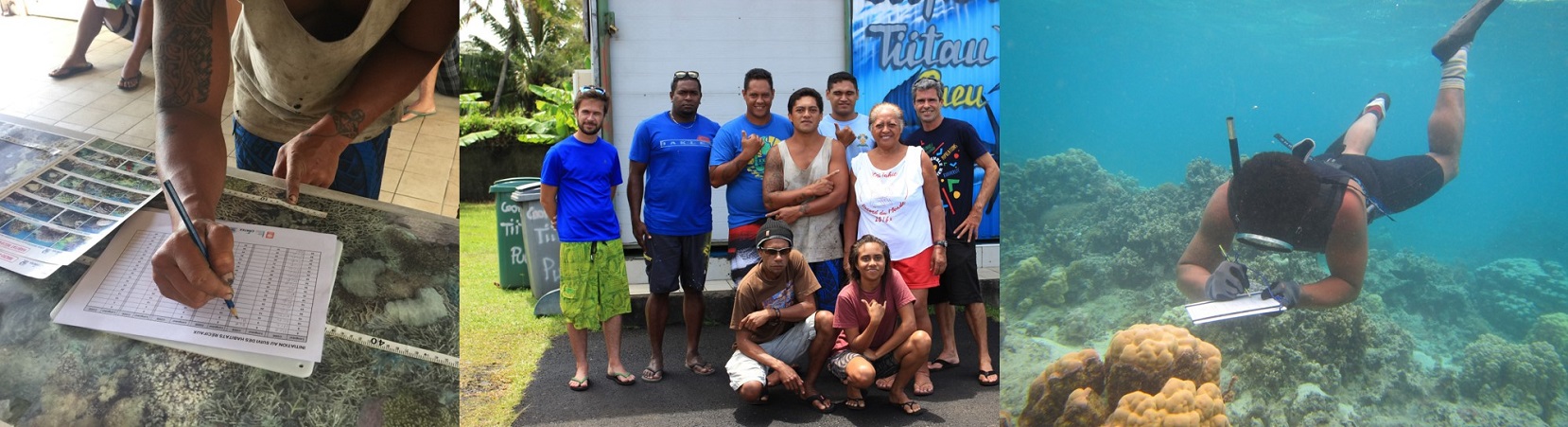
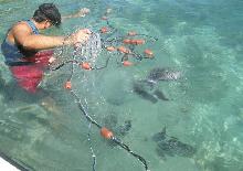
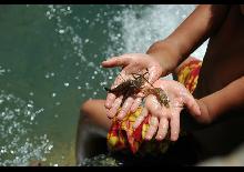
- French Polynesia-New Caledonia Exchange of experience and know-how in participatory monitoring of coral reef health status
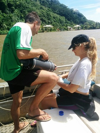
The objective of this project was to organize a Pacific inter-country exchange to share experience and know-how in participatory monitoring of coral reef health status. Such monitoring has already been carried out in New Caledonia since 2011 and invites volunteers to participate in the Réseau d'Observation des Récifs Coralliens (RORC), whether in scuba diving (via the Pala Dalik association) or freediving (monitoring of reefs in the Deep South - through the ACROPORA project, coordinated by OEIL and CCCE; and monitoring of Ouvéa reefs) in order to encourage the involvement of local populations in environmental monitoring. All underwater observers are trained in the techniques and identification of target species. Within the framework of this project, the skills acquired by the RORC have been made available to fishermen and members of the Rau'i management committees of the Taiarapu peninsula in order to help them set up their own monitoring network.
French Polynesia-New Caledonia (2017) : Exchange of experience and know-how in participatory monitoring of the health status of coral reefs (in French)
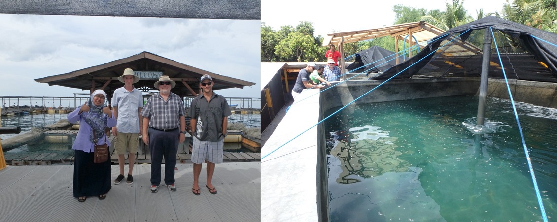
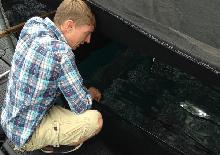
- French Polynesia-Saipan: Innovation and tradition applied to the exploitation of lagoon resources
This mission was organized following the exchanges initiated in May 2016 between Thomas Camus and Mike Ogo on the aquaculture of the Rabbit Fish Siganus argenteus ("Marava"). The Department of Aquaculture at the University of the Northern Mariana Islands began a 4-year program on Marava aquaculture in 2015 with U.S. funding. Department of Agriculture (USDA) and technical assistance from the Oceanic Institute in Hawaii. Mike Ogo's visit to Tahiti aimed at a first zootechnical exchange on Marava aquaculture (broodstock, egg laying, larval breeding, nursery) and to initiate a collaboration with Saipan on Marava issues.
French Polynesia-Saipan (2017) : Innovation and tradition applied to the exploitation of lagoon resources (in French)
In the various territories, the INTEGRE project has supported projects related to the sustainable management of coastal fisheries through various actions :
In New-Caledonia :
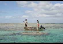
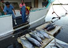
- Design of a lagoon fishing observatory in the southern province, including non-professional fishing :
The INTEGRE project and the South Province commissioned a study to assess the feasibility and make recommendations for the design of an inshore fisheries observatory in the South Province. At this stage and in accordance with the expectations formulated by the provincial services, the observatory model envisaged for the present study focuses exclusively on the evaluation, at regular frequency, of catches from lagoon fishing (catch volumes, as far as possible declined for the main species exploited).
Study for the design of a fisheries observatory in the southern province - Final report (in French)
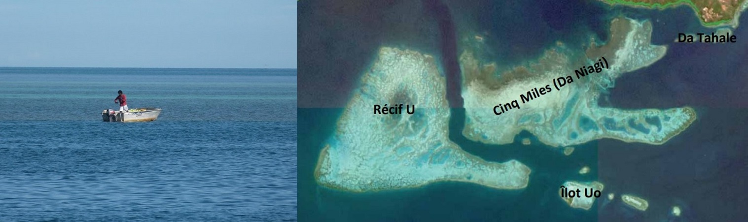
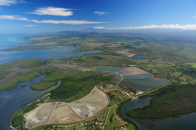
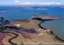
- Sociological and sicentific study for the protection of the 5 mile plateau :
The specific study site, the subject of this study, is the "5 Mile" reef complex. The latter includes several reefs, 2 main (Da Niagi and U) and 2 smaller reefs (Uo and Da Tahale islets). The mission that was carried out, within the framework of this work, consisted in carrying out temporal monitoring of biological communities (fish, macroinvertebrates, epibenthic) and benthic coral habitat on the one hand, and a quantitative inventory of sea fisheries on the shelf on the other. This mission is the first follow-up which was carried out after the initial state carried out in December 2011 by the University of New Caledonia (UNC) and the Aquarium Des Lagons (ADL).
Time monitoring of 5 mile reef communities - Commune du Mont-Dore - New Caledonia (in French)
In order to maintain the integrity of the UNESCO inscribed property, management committees have been established in the Grand Lagon Sud Marine Park in New Caledonia. These committees prioritize actions to protect the environment. The management committee of Ouen Island, in the southern province, has proposed the protection of a reef plateau in the south of the island: the Five Mile Plateau. The objective of this study is to determine the reasons for this demand for protection in order to propose an adapted key of understanding. The results show that this area is widely used for fishing by many different users and that it represents a cultural heritage for the inhabitants of Ouen Island as well as for some boaters of Grande Terre.
Perceptions of the Five Mile Plateau and prospects for protection (in French)
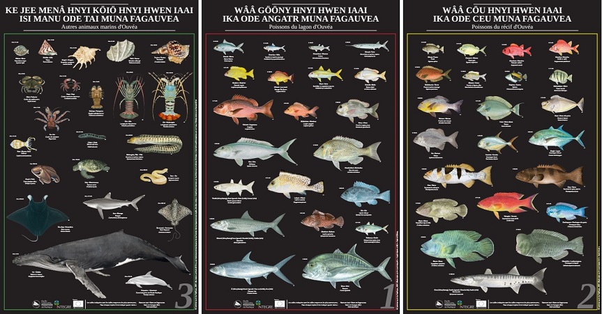
- Realization of 3 posters in local language on Ouvéa fish and associated educational projects :
In French Polynesia :
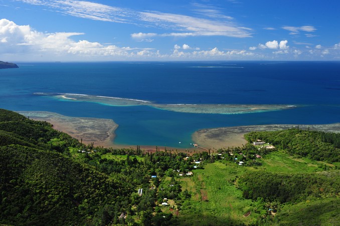
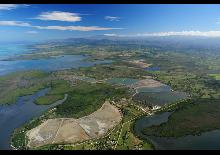
- Support the implementation of a sustainable and integrated management of lagoon uses - Raiatea / Taha'a :
A local INTEGRE committee has been set up to define and monitor the implementation of the project at the Raiatea-Tahaa site. The committee validated the implementation of a participatory process to identify the issues and implement the management of the lagoon and the islands of Raiatea and Tahaa. Several levels of consultation were undertaken, an institutional workshop, public meetings in all the associated communes or districts of Raiatea and a consultation of the Tahaa municipal council.
All these consultations made it possible to implement actions complementary to those of the INTEGRE action plan :
- Establishment of a sustainable management of the coral garden of "Tautau" and in particular the creation of a management committee that brings together stakeholders, the municipality, service providers, hoteliers, landowners, residents...
- Definition of a network of potential coral gardens in order to better distribute tourist frequentation on lagoon sites
- Establishment of 2 regulated fishing zones in the associated communes of Puohine (Raiatea) and Faaaha (Tahaa). The participatory work revealed a poor knowledge of the fisheries regulations and the wooden rules on which the minimum sizes of regulated species appear and the opening periods could be produced (160) and distributed among the fishermen of these 2 sites.
- Identification of functional fishing areas (spawning and nursery areas) in the lagoon and study of the ecological status of 50 of them
In parallel with the implementation of the actions mentioned, a cartographic synthesis work was carried out on the basis of existing data and new information collected by the project. It resulted in the production of an information atlas for the sustainable local development of the Rai'atea-Taha'a lagoon.
- Atlas - Aide à l'information pour le développement local durable du lagon de Ra'iatea-Taha'a (in French)
- Document de synthèse - Aide à l'organisation du développement local durable et de la gestion intégrée du lagon de Raiatea-Tahaa (in French)
- Fiches actions - Aide à la réalisation des actions de développement local durable et de gestion intégrée du lagon de Raiatea-Tahaa (in French)
- Accompagnement à la mise en place d'un processus de gestion intégrée du lagon des îles de Raiatea et Taha'a mené dans le cadre du projet INTEGRE (in French)
- Etude des différents usages et des pressions sur les milieux en contribution à l'élaboration du plan de gestion intégrée du lagon des îles de Raiatea et Tahaa (Polynésie française). Reflexions pour une gestion durable du lagon : focus spécifique sur la gestion des ressources de pêche lagonaire (in French)
- Définition d'une organisation durable de la gestion des déchets des professionnels de Raiatea et Tahaa (in French)
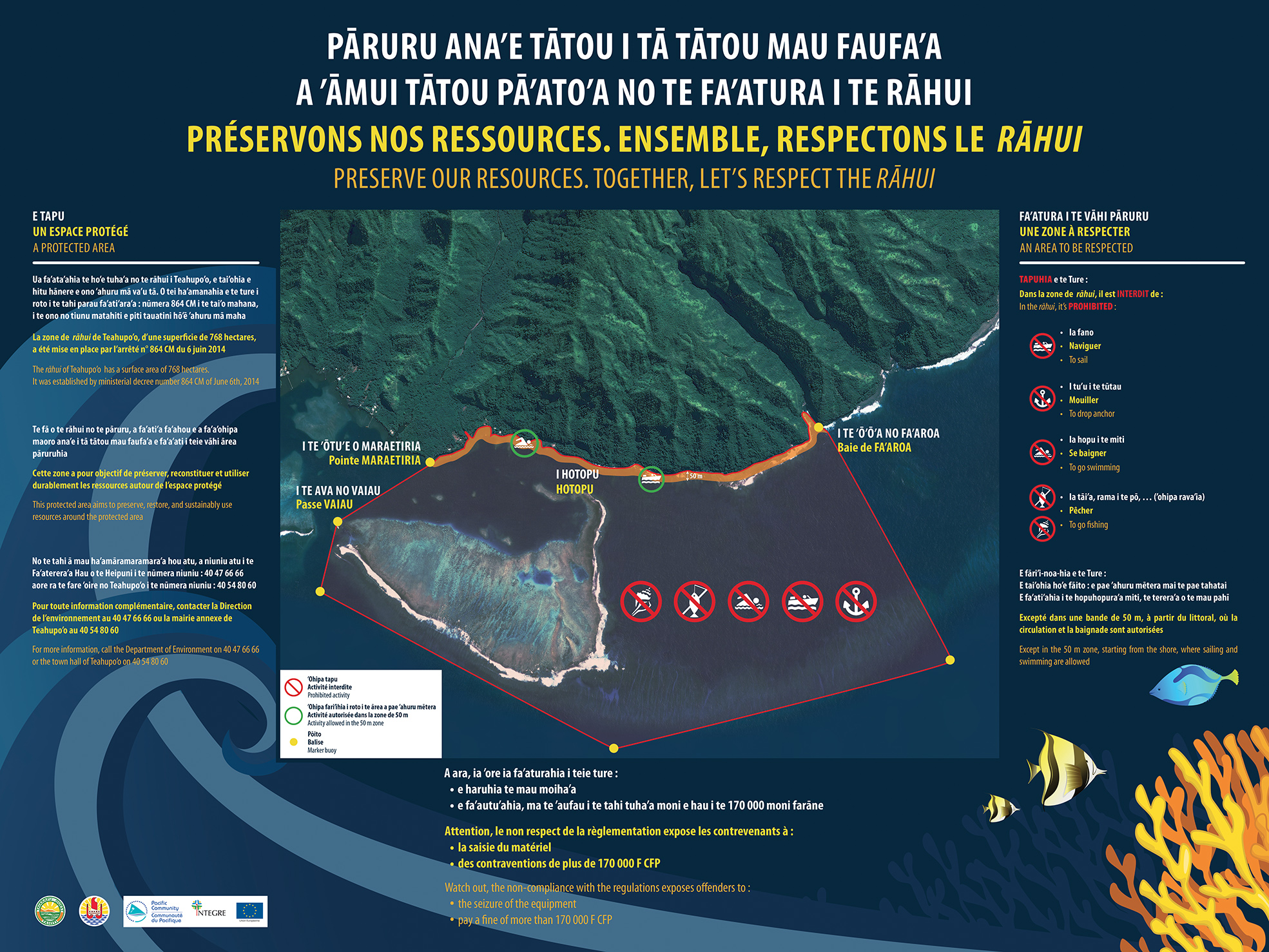
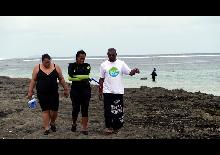
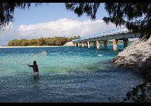
- Support the establishment and effective management of the protected area of managed natural resources (rahui) on the Fenua Aihere site in the associated commune of Teahupoo bu marking the area and creating an information signe - Tahiti Peninsula :
The managed marine area, more commonly known as Teahupoo rahui, was pre-existing to the INTEGRE project. The objective of the project was to contribute to strengthening its management through studies and investments.
The Direction of Environment, manager of this marine area, requested the support of the INTEGRE project to set up the delimitation markers for the managed area and to design and produce information supports on the location and the rules in force in the Teahupoo rahui. Two 2mx1.5m signs were installed at Teahupoo Town Hall and on the parking lot at the end of the road (kilometre point 0) and 2,000 flyers were produced and distributed. These materials were produced in 3 languages, French, Tahitian and English.
The studies carried out had three objectives, to extend had several objectives, to extend the current "rahui" to the land area in the respect of the Polynesian tradition, to develop the archaeological remains of the land area for tourist purposes and to train young people in archaeological prospecting techniques and the history of the site.
- The Rahui, the way maritime resources are managed in French Polynesia (in French)
- Flyer "A shared space" (in French and Tahitian)
- Save our Resources" sign. Together, let us respect the Rahui"(in French)
- Thesis topic on the development of a rahui network in Taiarapu: participatory approach and integrated management plan (in French)
- Methodological assistance for the establishment of a Rahui network (traditional lagoon and land management) in Taiarapu, Tahiti (in French)
- Support for the implementation of Participatory Management in the Tautira lagoon (in French)
- Evaluate an organisation of the management and monitoring of the EEZ and the costs of managing this area :
The INTEGRE project was asked to support this process by carrying out a critical analysis of experiences in setting up and operating large marine protected areas around the world. The first phase of the baseline study on the world's major marine protected areas highlighted the essential conditions for any MPA project.
- Synthèse de l'étude d'une aire marine gérée à l'échelle de la ZEE polynésienne
- Etude d’optimisation d’une aire marine gérée à l’échelle de la ZEE polynésienne : recommandations et orientations
- Etude d’optimisation d’une aire marine gérée à l’échelle de la ZEE polynésienne
- Annexe 1
- Annexe 2
- Annexe 3
- Annexe 4
- Develop a methodology for drawing up integrated coastal zone management plans :
The INTEGRE project was asked to support this process which resulted in :
- A methodological framework on the realization of participatory diagnoses in Raiatea-Tahaa and Tahaa : definition of the format of the meetings, analysis of the collected data ;
- Facilitation of key consultation workshops ;
- The elaboration of cartographic syntheses: Raiatea-Tahaa atlas and Opunohu chorematic maps ;
- A methodological framework for the definition of governance bodies: proposal for the organisation and composition of committees, support for the drafting of a decree creating a committee ;
- Steering the drafting of summary documents and action sheets for Raiatea-Tahaa and Opunohu.
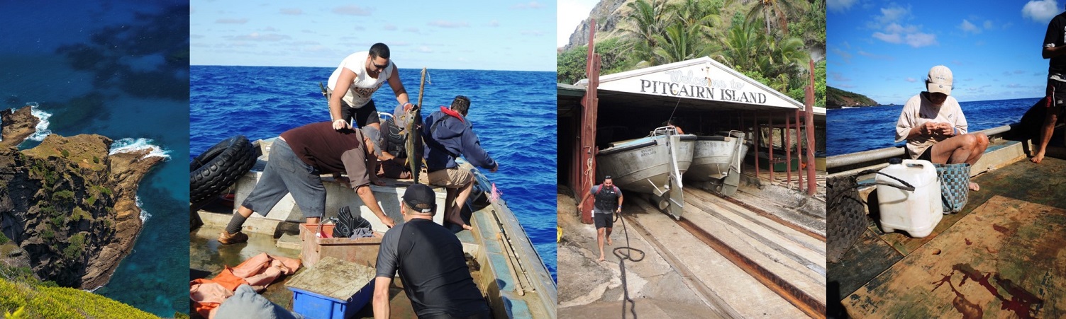
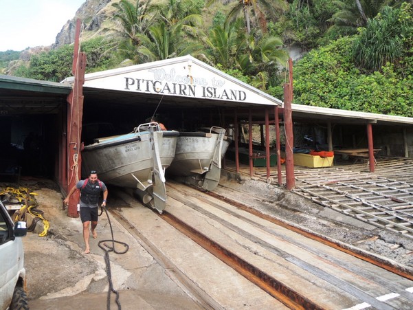
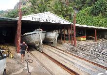
To Pitcairn :
- Support for the implementation of an inshore fisheries management plan :
Coastal marine resources are currently under little pressure due to the small number of fishers. The geographical isolation of Pitcairn, however, makes the resources fragile since they have very little connection to the neighbouring islands to allow natural "reseeding". Pitcairn worked on a coastal fisheries management plan in conjunction with King's College London. In parallel, the INTEGRE project, through a technical support mission, has made it possible to better integrate fishermen's concerns into the suggested management plan and to place them at the centre of the governance, implementation and monitoring mechanism.
INTEGRE aimed to strengthen the integration of OCTs into regional networks by offering them financial or technical opportunities to participate in the networks, either by facilitating their access to the networks or by organising specific sessions so that they could meet, exchange and share their experiences with their counterparts, or finally by financing bilingual studies on subjects of common interest to the OCTs or the ACP. However, the integration of the OCTs into regional networks cannot be decreed, it is built on the basis of meetings, interests, wills and even personalities who promote cooperation or seek to see how things work elsewhere. Thus, depending on the themes, the dynamics have been more or less strong.
On the regional management of coastal fisheries, which will also be a theme of the 11th regional EDF, it became obvious at the April 2017 workshop that the OCTs and ACPs of the region shared a large number of problems and concerns, sometimes with interesting initiatives taken by the OCTs within a more "French" administrative and legal framework, but also major sources of inspiration for the more transversal policies implemented in the ACP countries. The workshop highlighted the enormous potential for developing relations between the countries and territories of the region.


Events RA
- 31.05.18
Présentation du projet INTEGRE au Sénat
Présentation du projet INTEGRE au Sénat
L’équipe INTEGRE a présenté le projet au colloque sur la biodiversité du vaste Pacifique
- 30.05.18
Présentation du projet INTEGRE au sous-comité du CRGA de la CPS
Présentation du projet INTEGRE au sous-comité du CRGA de la CPS
L’équipe INTEGRE a présenté le volet régional "Réseau de fermes pilotes bio" dans les séances thématiques "Changement climatique et résilience / gestion des risques de catastrophe"
- 11.04.18
Présentation du projet INTEGRE au chef de la délégation de l'UE dans le Pacifique
Présentation du projet INTEGRE au chef de la délégation de l'UE dans le Pacifique
A l’occasion de la visite officielle en Nouvelle-Calédonie de Monsieur Julian Wilson, chef de la délégation de l’UE dans le Pacifique, la CPS a invité les autorités et les partenaires de Nouvelle Calédonie à visiter l’exposition INTEGRE.